
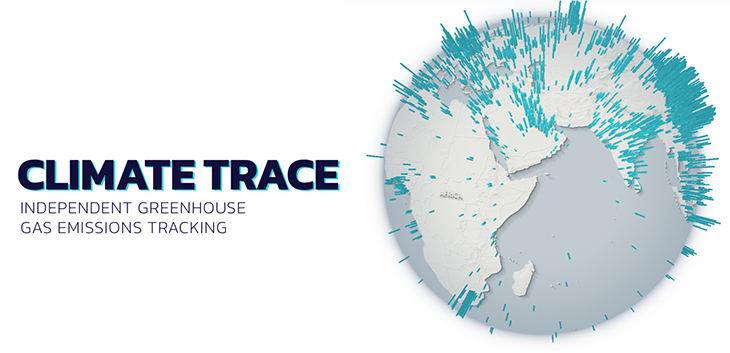
Climate Trace
Most human economic activities release greenhouse gases into the earth’s atmosphere. We use satellites and other remote sensing technologies to spot these emissions activities
…not just the big, obvious things, but also the tricky ones that move
…and the less obvious ones.
We combine many sources of information because the more we know about each emissions source, the better we get at finding and accurately measuring them.
Using satellites, direct measurements, and artificial intelligence, we build models that estimate emissions right at the source.
With more and more information streaming in from space and sensors around the globe, our emissions estimates are continuously improving.
Complete information => https://climatetrace.org
Explore the map => https://climatetrace.org/map
Download the data => https://climatetrace.org/downloads
Leave a Reply