
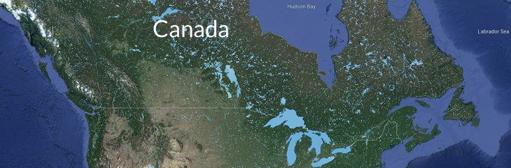
Flooding map anywhere in Canada in the future
Finally, we have the info needed for better zoning and development. This map viewer allows anyone to see where flooding will occur anywhere in Canada in the future. Cheryl
Project info
The presented material has been developed with the support of the Natural Sciences and Engineering Research Council of Canada (NSERC) and Chaucer Syndicates Ltd collaborative research grant “Linking hazard, exposures and risk across multiple hazards” to Prof. Slobodan P. Simonovic.
Project team: Prof. Slobodan P. Simonovic, Prof. Mohit Mohanty, and Dr. Andre Schardong.
Disclaimer
This software tool is provided “as is”, without warranty of any kind, express or implied, including but not limited to the warranties of merchantability, fitness for a particular purpose and non-infringement. In no event shall the authors or copyright holders be liable for any claim, damages or other liability, whether in an action of contract, tort or otherwise, arising from, out of or in connection with the software or the use or other dealings in the software.
Leave a Reply